
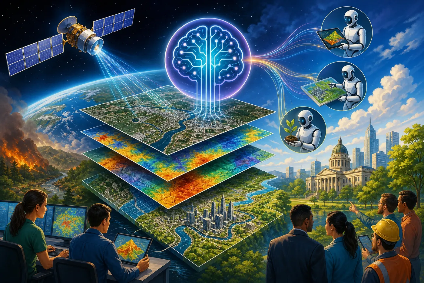
A new arXiv preprint posted on 15 July 2026 sketches a future where satellite imagery answers questions, turning raw pixels on a screen into queryable data [S1]. The paper, from Shelley Cazares at Google Public Sector in Washington DC [P2], proposes splitting geospatial AI into two jobs: heavy pretraining done by organisations with big compute, and lightweight fine-tuning done by domain experts who never have to hand over their data [S1]. Whether that split holds up outside a preprint is the question the whole field is now racing to answer.
The division of labour
The paper's central idea is what it calls a "separation of duties" [S1]. Today, building a useful AI model for satellite or aerial imagery means either training from scratch, which burns months of compute, or starting from a general-purpose computer vision model that was never tuned for the spectral and spatial quirks of Earth observation. GeoFMs, as the paper defines them, are models pre-trained on massive geospatial datasets through varied methodologies [S1]. A big provider absorbs that cost once. Everyone else adapts the result.
The paper claims this approach widens access to advanced AI/ML while keeping sensitive downstream data under the domain expert's control [S1]. That framing, "democratizes" in the authors' words, is a claim rather than a measured outcome. The preprint has not been peer-reviewed, and no benchmarks or experimental results are presented [S1].
Two model families, two jobs
The paper draws a line between two types of GeoFM [S1]. Vision models, built through self-supervised techniques like masked auto-encoding, are finetunable: you take the pretrained weights and train them further on your own labelled data. Vision-language models, built through contrastive learning, work differently. They enable zero-shot tasks, including open-vocabulary image analysis, where you can ask the model to identify features it was never explicitly trained to recognise [S1].
Open-source versions of both already exist. THOR, a transformer-based foundation model for Earth observation, sits on GitHub with 24 stars and code in Jupyter Notebook and Python [P3]. DOFA-pytorch offers easy fine-tuning of Geo foundation models under an Apache 2.0 licence, with 28 stars and active development as recently as February 2025 [P5]. These are small projects, but they show the adaptation layer the paper describes is already taking shape outside any single vendor's walls.
The agentic leap
Here is where the paper gets ambitious. It proposes a framework it calls Agentic Geospatial Reasoning, where large language models act as orchestrators, calling GeoFMs as tools to answer high-level user queries in natural language and automate complex analytical workflows [S1]. The paper frames this as moving the field "from perception to cognition" [S1].
This connects to a broader current in AI research. A separate paper from researchers at Oxford, the National University of Singapore and Carnegie Mellon University introduced a framework for enhancing LLM reasoning with agentic tools, where models call external tools to work through problems step by step [P4]. The geospatial version would apply the same orchestration idea to Earth observation: instead of an analyst running three tools manually to assess flood damage, an LLM could coordinate the tools, pull the relevant satellite tiles and return a written assessment.
That is the vision. It is explicitly forward-looking, and the paper does not claim it has been built or deployed [S1].
What it means
The core shift is about who can do what with satellite data. Right now, a small environmental consultancy that wants to monitor deforestation across a region faces a brutal choice: hire a machine learning team to build a custom model, or settle for off-the-shelf tools that may not fit the task. The paper's proposed split changes that equation. If a well-pretrained GeoFM exists, the consultancy fine-tunes it on their own labelled examples, keeps their proprietary data in-house, and skips the months of pretraining [S1].
The paper also introduces a taxonomy of model adaptation strategies and a framework for picking the most cost-effective one for a given mission [S1]. That matters because the gap between "this model works on my data" and "this model is cheap enough to run at scale" is where most real-world AI projects stall. The paper discusses performance-cost analysis and the broader MLOps ecosystem as practical considerations for operationalising GeoFMs [S1], though it stops short of providing tested numbers.
What it means for business
A two-person environmental consultancy, a council planning office, a regional farming cooperative: these are the operators the paper's vision is built for. They have domain knowledge and labelled data but not the compute budget to pretrain a foundation model on petabytes of satellite imagery.
On their desk this quarter, the change looks like this. Instead of commissioning a custom model build, they download a pretrained GeoFM, fine-tune it on a few hundred labelled images, and deploy it through a standard MLOps pipeline. The open-source tooling already exists [P3][P5]. The cost question, which the paper raises but does not resolve, is whether fine-tuning and inference are cheap enough for a small team to run continuously, or whether they need cloud infrastructure that eats the savings from skipping pretraining.
The agentic layer is further off. If it arrives, the workflow changes again: a planner types "show me every new clearing within 5km of waterways in this catchment since January" and the LLM picks the right models, runs them and returns a report. That is the paper's promise. No one has shipped it yet.
What we don't know yet
The paper is a single-source preprint with no peer review, no empirical benchmarks and no deployed system to point at [S1]. The "democratizes" claim is the authors' framing, not a measured result. The agentic reasoning vision is speculative by the paper's own admission. The taxonomy of adaptation strategies and the cost-effectiveness framework are proposed, not validated against real tasks.
What to watch next: whether any group builds the LLM orchestration layer the paper describes and tests it on real geospatial workflows. The open-source GeoFM projects on GitHub [P3][P5] are the most likely starting points. The broader agentic reasoning literature [P4] gives the architectural template. The gap between this preprint and a working system is where the real work begins.
Sources
- [S1] The Emerging Paradigm of Geospatial Foundation Models: From Pre-Training to Agentic Reasoning — arXiv cs.AI new (official RSS) (attributed)
- [P2] The Emerging Paradigm of Geospatial Foundation Models: From Pre-Training to Agentic Reasoning — The Emerging Paradigm of Geospatial Foundation Models: From Pre-Training to Agentic Reasoning (attributed)
- [P3] FM4CS/THOR — FM4CS/THOR (attributed)
- [P4] Agentic Reasoning: A Streamlined Framework for Enhancing LLM Reasoning with Agentic Tools — Agentic Reasoning: A Streamlined Framework for Enhancing LLM Reasoning with Agentic Tools (attributed)
- [P5] xiong-zhitong/DOFA-pytorch — xiong-zhitong/DOFA-pytorch (attributed)
More from Not A Tech Guy
- DROPJ trains safe AI agents from human justifications
- Google Vids adds text-to-video editing and selfie avatars
- Adversarial prompting framework finds encoded attacks bypass AI safety
Generated from an audited evidence pack with primary-source research. Social-media items are discussion signals, not verified facts. Nothing here is financial, legal or medical advice.